Good plug-in,but i don’t know how to use tag system.
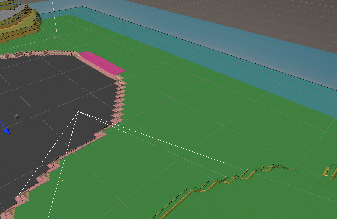
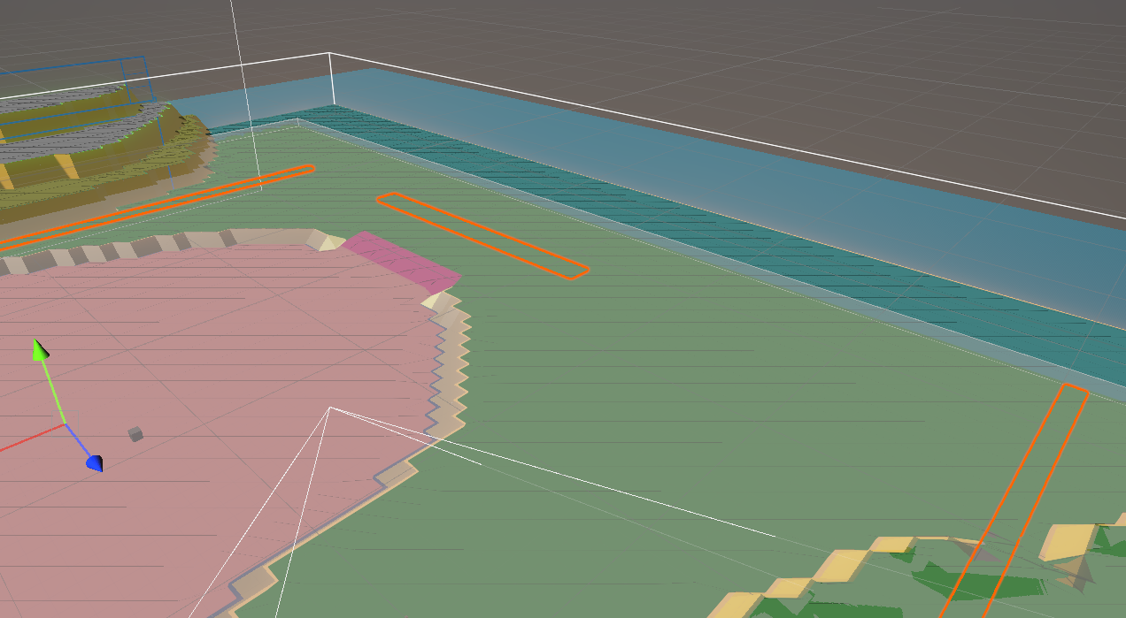
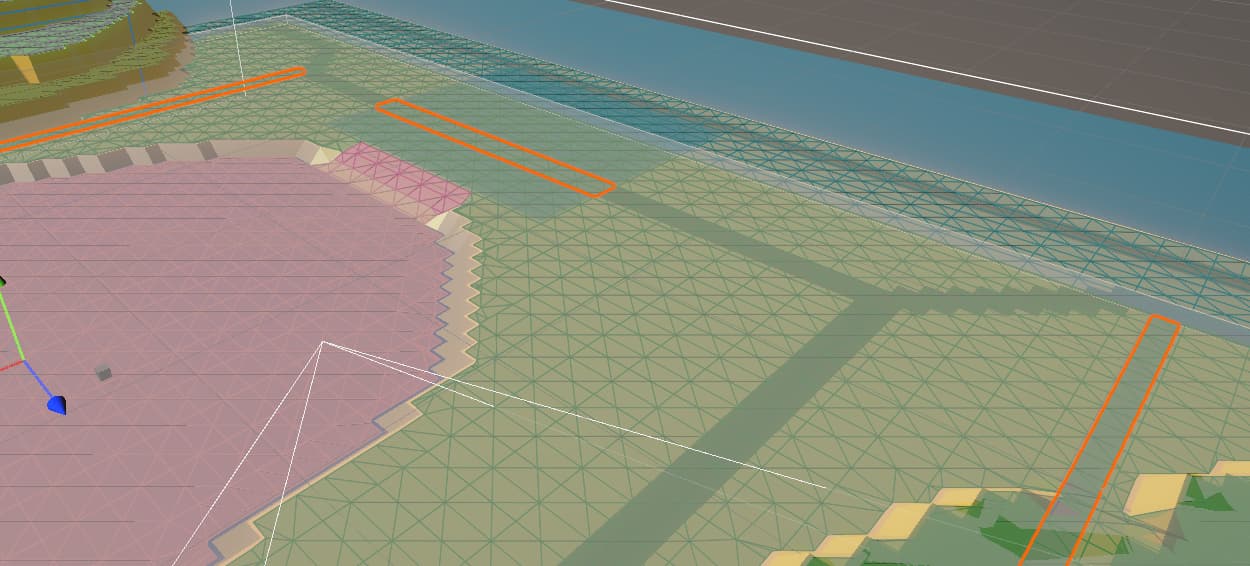
If my map model is separates,when i add a GraphUpdateScene component to it, the Tag system will surround from its largest boundary, other map models contained within it will be invalidated.
Use GridGraph
Use RecastGraph
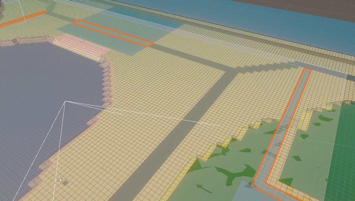
The model surrounded by the orange line is mine, gray range seems to be within its control.Because of this matter, the penalty system also doesn’t work properly.
Can A*Pathfinding partition areas as accurately as Navmesh?By use the collider or mesh.
I use the pro versions ver 4.2.19.