Unity 2020.3
A* 4.2.15
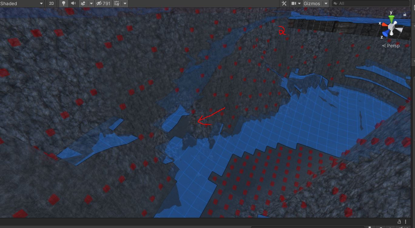
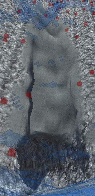
Layered Grid Graph
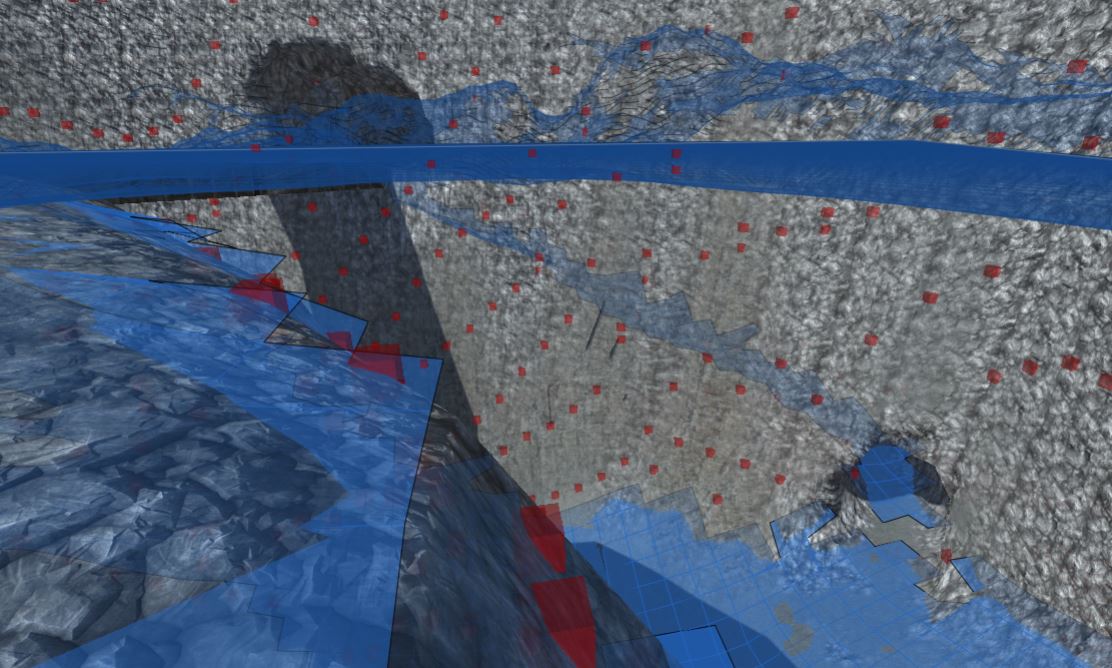
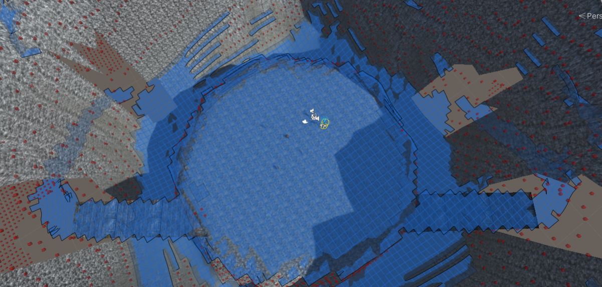
I have unity terrain with some Digger tunnels. A* worked perfectly… almost. If you look at the picture, you can see at the arrow location that the grid doesn’t connect. I have zero problems using the same character with a character controller setup, traversing that area. It’s not any steeper or narrower or shorter than the rest of it. The top tunnel exit works fine (where the 2 is). There’s a second tunnel with the same exact problem. The only theory I have is that the terrain cutout function (something in unity, but Digger uses), is causing an issue. The upper tunnels are cut in a close to 90 degree slope, and the lower tunnels aren’t as steep. I have tried turning up and down every relevant setting to no avail.
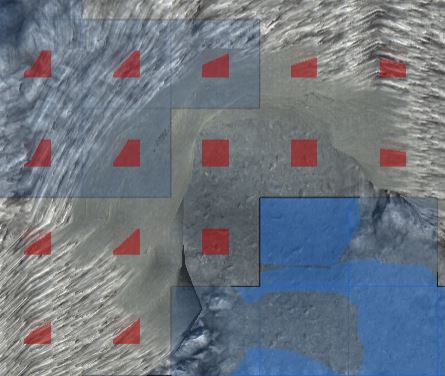
Is there a way for me to change these squares into walkable terrain? Is there a way to find out a node’s information/array location?
The dev might want to test this out, too. They could make a piece of terrain, use the cutout tool to make a hole, and put a walkable plane past the hole, and see if it generates properly.
I verified the AI does not path properly past the point, but does path properly to other points in the tunnels and terrain.